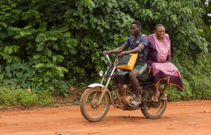
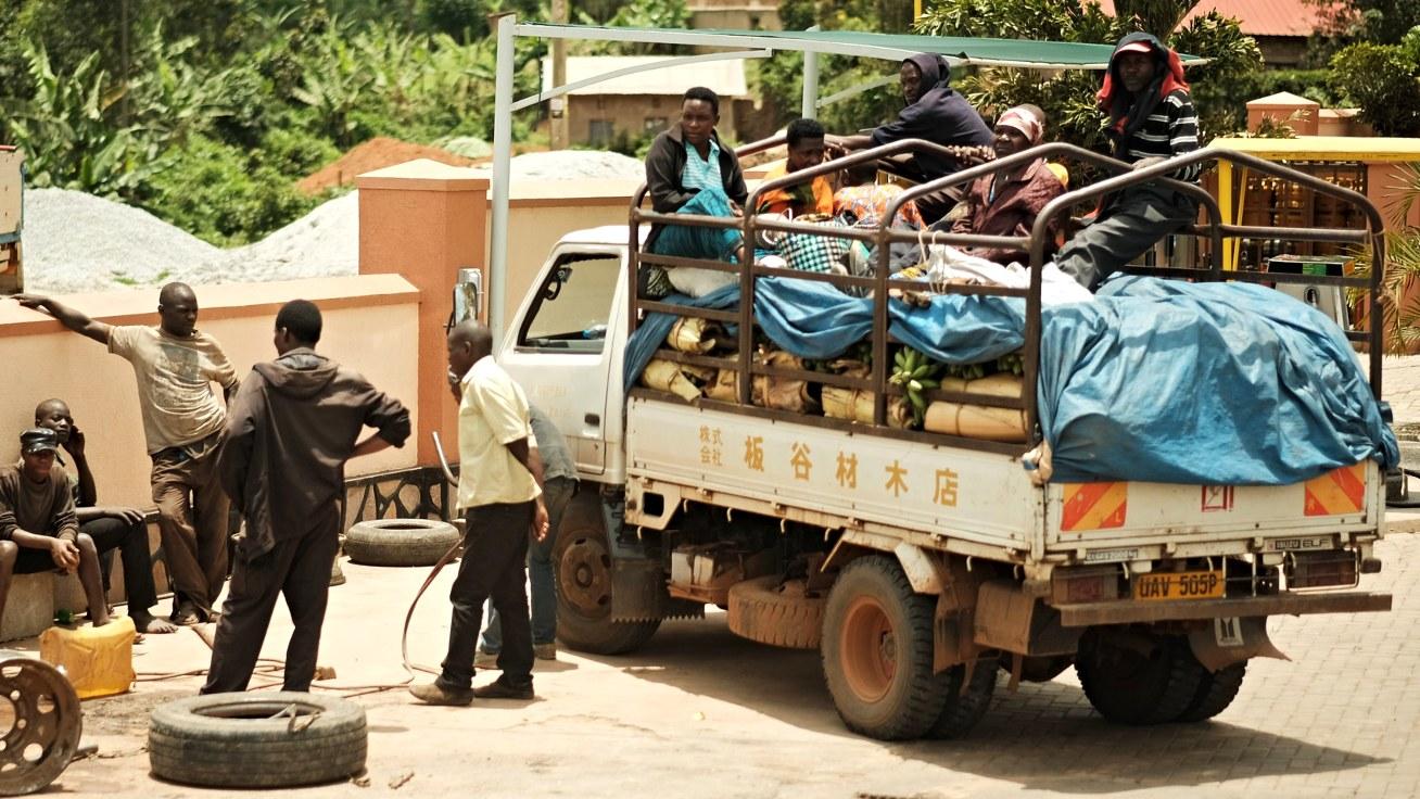
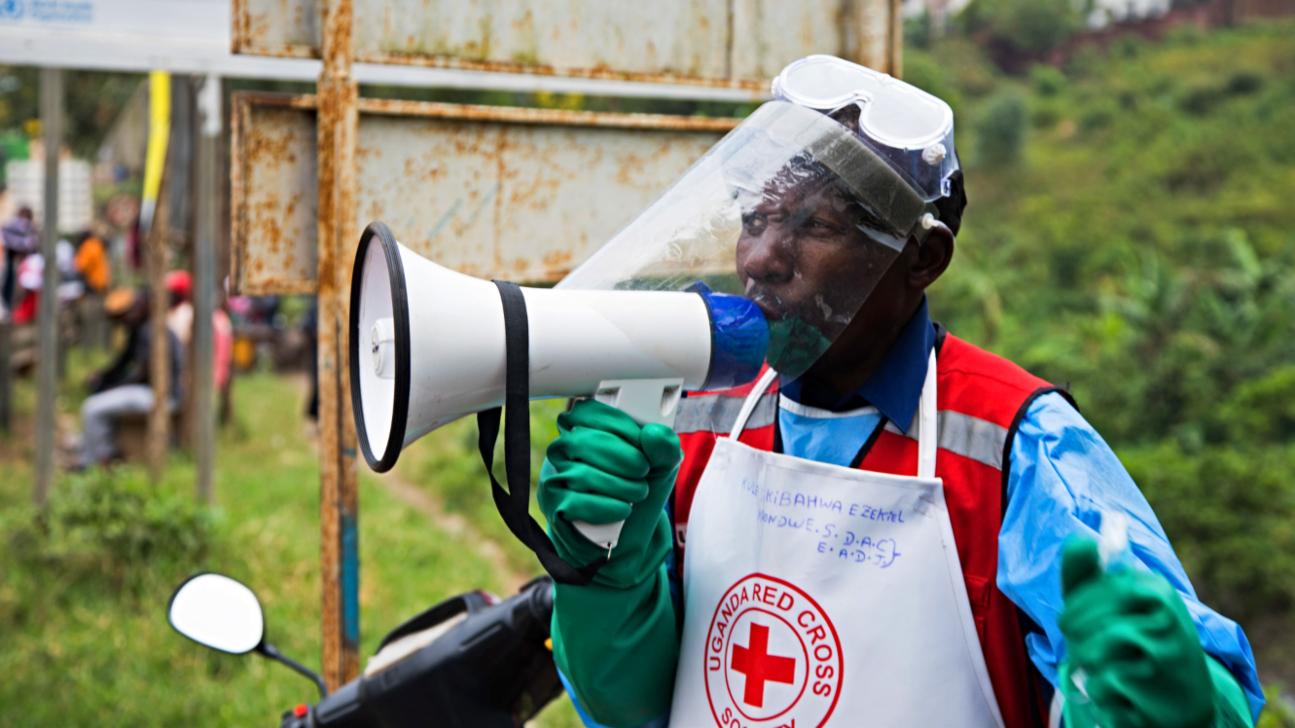
Minimal attention has been placed on understanding the travel time of pregnant women to health facilities in emergency situations in African cities. Using an innovative approach that painstakingly recreated the journeys of pregnant women in Lagos, we showed that existing computer models do not reflect the realities of women on these journeys. Leveraging tools that allow integration of local and context-specific factors will make travel time estimation more relevant for supporting evidence-based service provision for maternal health.
One of the key decisions pregnant women have to make before the arrival of their baby is where they want to give birth. While it is good news that more women – including those in sub-Saharan Africa – are choosing to deliver their babies in health facilities, they are still faced with a multitude of choices in selecting the health facility where they will deliver. For one, women want a facility they trust to provide good care. They also want a facility they can afford and, critically, access in time. Travelling for childbirth can be stressful in labour, and even more so if women have a complication, such as bleeding or obstructed labour.
Understanding travel times of pregnant women to reach hospitals
Researchers in maternal health and health systems have long been engaged in understanding how near to women health facilities should be to cover the needs of the population. In doing this, many have used either reports by women, which can be subjective, or computer models based on sophisticated geographic information systems, which require high-level technical expertise, to estimate travel times of pregnant women in sub-Saharan Africa. A general consensus is that women in rural areas have to travel long distances to reach health facilities. These rural areas are locations with low population densities, where it can take women many hours, travelling slowly on poor roads to reach a district hospital. But what about urban areas?
The last few decades of urbanisation have created large, densely populated, sprawling sub-Saharan African cities – for example Johannesburg, Kinshasa, Lagos and Nairobi. These cities, home to millions of people and tens of thousands of births per year, have many health facilities, including public hospitals and private clinics. Thus, because women appear to be living near such health facilities on a map, attention has not been paid sufficiently to the difficulties of accessing maternal care. Yet nothing can be further from the truth.

Existing tools do not reflect reality
In a newly published article in the BMJ Global Health, we painstakingly extracted data from the files of 738 pregnant women who presented with potentially life-threatening complications in the four largest public hospitals in Lagos. We then estimated the women’s travel time using computer models, Google Maps, and by sending drivers to reconstruct the journeys at the same time and day of the week as the women travelled.
The findings were shocking, revealing that women’s travel can take up to four times the duration that traditional computer models predict. This disparity is due to many reasons – traffic, poor state of roads, rain, and other factors that models do not consider. On the other hand, the real journeys that women took could be as much as one and a half times more than estimates from Google Maps. While this is closer to reality, it is still fraught with the inability to reflect extreme traffic, called ‘bumper-to-bumper’ in Lagos, and unpredictable road behaviours of drivers.
Whichever method was used, we found that the smallest differences between replicated and estimated travel time were for night-time journeys at weekends, while the largest difference was in night-time journeys on weekdays. We also found that journeys that took less time had the closest estimates using all three methods, and journeys that took longer times had the most errors and least agreement.
Consequences of unrealistic estimates
There are huge ‘life and death’ implications of travel time to reach facilities for pregnant women in emergency situations. The World Health Organization recommends that women should be able to access health facilities within two hours. As per our study, model and Google estimates suggested that all the pregnant women in the study reached health facilities within two hours, though, in reality, there were women who needed to travel for longer to access facilities, highlighting the inequalities these estimates obscure. This minimises the utility of these computer models, and suggests, in particular, large-scale models may not be effective for advocacy, service planning and policymaking.
Travel time estimates need that ‘local gaze’
To move forward, models need to take into account actual local traffic conditions. While this draws models closer to reality, there will still be a gap in linking populations to actual faclities of care, as we have done in our study. On the other hand, a greater application of web-based platforms like Google Maps, which is ubiquitous and can capture local and context-specific data on travel, need to be mainstreamed into efforts to support evidence generation for health service delivery, which is at next to no cost for researchers and service planners. While advocacy to big tech mapping companies like Google and ESRI to provide these ‘life-saving’ data will be a sensible next step, open-source platforms such as the World Bank-supported OpenTraffic should be promoted. Across the board, emphasis needs to be placed on sub-national analyses that allow for more in-depth exploration of reasons for any travel time delay.
Our study only describes women who made it to a facility, and there are others who did not – ranging in reasons from having decided against traveling altogether to dying on the way. If travel time estimates are to be more applicable to ‘leaving no one behind’, especially in urban settings of sub-Saharan Africa, then leveraging tools that reflect realities closer to the experiences of women trying to reach facilities offers more relevant evidence to support service planners and policymakers.
Photo by Joshua Oluwagbemiga on Unsplash.


