Academic research is predominantly communicated via the written word in reports, research articles, social media and blogposts. Here, Alexandra Gomes, Tanushree Agarwal, Asseel Al-Ragam and Sharifa Alshalfan, describe the development of ‘Kuwaitscapes’ a card based game designed to communicate the findings of their research into sustainable development in Kuwait and as way of raising awareness of the policy choices available to make urban environments less car-dependent.
Urban design and planning have historically had a reputation for being technocratic and top-down, driven and guided by policy reports, academic research and data that ultimately leaves behind ‘end users’ or the people who actually live in these places in the process. In the past this paradigm has led to forms of urbanism shaped around the interests of dominant groups, such as car drivers, at the expense of almost all other demographics. Its physical legacy and modes of thinking continue to be a challenge for urban management across the globe.
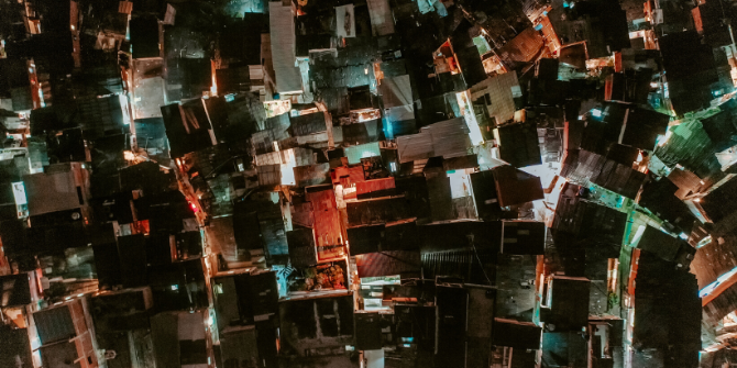
Kuwait is an example of a country where car-centred development is still dominant and where there is a need for more people-centred public space. Its rapidly expanding population, coupled with a pattern of urbanisation that promotes car use is destructive to individual health and the environment. To achieve more sustainable development within the emirate, there is a clear need to rethink the relationship between society and the urban environment. Short of producing yet another report (yes we did this as well), how can these necessary, but often complex and bureaucratic discussions be taken out of the realm of the expert, planner, architect, policy maker and into the lives of everyone who, works, and plays in the city?
Kuwaitscapes
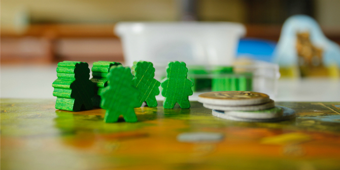
Kuwaitscapes is a card game based around our research into public space and policymaking in Kuwait. In short, the main goal of the game is to be the first player to improve an area to a particular character using the matching tools available. It is also a graphical illustration inspired by the other outputs of the research project and tries to capture the essence of our policy recommendations.
games (like other visual and play tools) have the capacity to break the linearity of normal expert research communication and open that same research communication to a wider audience.
But why create a game? A written report, like the one we produced as part of this project is in some ways a blunt instrument. Written for a purpose its findings and recommendations lead the reader on their own to a particular conclusion. In contrast games are flexible and collaborative, they invite players to step out of their normal roles and open their minds to different voices and experiences. They are also inclusive, as within their own context they can help bring in marginalised groups and reach a wider demographic including children and their parents. Prompting their own intergenerational conversations on issues, as well as enabling engagement with academics, policy makers, and practitioners. In this way, games (like other visual and play tools) have the capacity to break the linearity of normal expert research communication and open that same research communication to a wider audience. In designing Kuwaitscapes, we wanted to emphasise three important dimensions of the project.
Reframing responses to social challenges
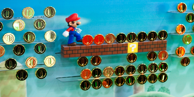
As part of the game, players use cards representing different Areas, Characters and Tools (see the video below). We also included ‘Action’ cards in part these cards add urgency and excitement to the game. Importantly, they also assert individual and collective agency and the constructive and destructive impact of different actions. They highlight issues; traffic, pollution, or the non-existent local level of governance in Kuwait, represented by the ‘Mayor for the Day’ card. This card is the ‘joker’ of the deck and can be used as any tool in the game, highlighting how local levels of governance are important and their powers can be used to improve the city conditions. It can also be used to prompt alternative ideas for tools that are not represented, particularly when the card game is used for teaching or citizen engagement purposes.
Finally, we also included Nudge cards (drawing on Richard Thalers work in behavioural science) aimed at making the player reflect on tools that can promote behavioural changes. While the “Nudge” idea is borrowed, the aim here is to nudge players towards framing and understanding collective problems differently. Problems apparent in Kuwait, as well as those in the region and more broadly those around the world.
Reimagining the social-spatial horizon
The card game is not only a method for reframing and providing opportunities to understand and engage with urban problems. It also aims to raise awareness on how to serve diverse user groups and explore how public spaces are used at different scales of urban analysis. We wanted to use different elements in the game to create varied moments of reflection and learning for players. Something we tried to emphasise, through ‘Character’ cards with a diverse range of characters with wide-ranging identities and abilities. As an example, we included Abdulrazak a migrant labourer, Mama Muneera an older woman and Khaled a physically disabled young man. Contending with the needs of vulnerable groups is an important part of the game.
We wanted to use different elements in the game to create varied moments of reflection and learning for players.
The objective is for players to reflect on the characters’ urban experiences from their unique perspectives. The “Area” cards represent neighborhoods in Kuwait and are categorized according to three distinct urban spaces/scales. Those include the built form, the streets, and the open/public spaces. The “Tool” cards that tackle social and physical issues encourage players to improve these areas while reflecting on how these tools might impact user experience. We set out to include a diverse set of tools that were extracted from our survey analysis. These tools act as triggers for creativity and reflection. While the Area and Character cards focus on how people experience the city, the Tool cards allow players to imagine a more human-centred city, while reflecting measures related to urban design, urban planning, and mobility.
Creating a meaningful game for all
The game and the deck of card design are localised to the Kuwaiti context and reflect real neighbourhoods within the city, inspiring citizens to see the city as a laboratory, while exploring the challenges and opportunities within it. The process of developing the game relied on teamwork and assembling a broad range of skills. The design process involved careful thinking about the illustrations, typography, overall design and ease of use. However, the biggest challenge was developing the rules of the game. The goal was to create a set of rules that would relate to the aim of the game and research, highlighting a problem or a potential solution, while still being fun, fast, unexpected, and competitive. This challenge was overcome through an iterative process and a large matrix that linked all the cards to one another, followed by multiple testing sessions – not always easy due to the geographical dispersion of the team and the strict COVID-19 restrictions.

While we designed Kuwaitscapes to be a game, we also imagined it to be much more than that. The cards are versatile enough to be used as an educational tool for children to learn about cities, or by citizens and public authorities at participatory planning workshops to solve urban issues together. As one Kuwait University student playing an early version of the game expressed: “this should be the way that urban design is taught.”
These are just some of the uses we imagined for the game, but we encourage people to create new uses, or even “hack” the rules and make a game of their own. Kuwaitscapes is more than a project output. It is a play tool that also aims at teaching and facilitating discussion of real issues. We hope you can learn about Kuwait, urban planning and design, while having fun playing it! The game is freely available to download here. Just print it, cut it and play. Any feedback, ideas and alternative rules/uses for the cards are welcome.
Kuwaitscapes is a game based on a LSE Middle East Centre Kuwait Programme research grant project named “Public Space in Kuwait: From user behaviour to policy-making”. An academic collaboration between LSE Cities and Kuwait University.
The content generated on this blog is for information purposes only. This Article gives the views and opinions of the authors and does not reflect the views and opinions of the Impact of Social Science blog (the blog), nor of the London School of Economics and Political Science. Please review our comments policy if you have any concerns on posting a comment below.
Image Credit: All images reproduced with permission from the authors.


3 Comments