Maps often represent dominant social, technical and political systems. In this post, Cla Ruzol and Cian Dayrit describe their work ‘Terrains of Power’ and how the creation of counter-maps can be a valuable tool for disrupting and reimagining unequal social arrangements.
The Philippines is a country with seasonal monsoons, frequented by an average of 20 typhoons annually, and crisscrossed with great rivers and watersheds. Yet, when heavy rains pour down in Metro Manila creating fast-flowing streams on concrete roads, leaving motor riders drenched, cancelling classes, and bringing the traffic to stand still, tap water trickles or remains cut off in many areas. Water distribution has been the perennial problem in the cities of Metro Manila since World War II. While technology and public governance has ostensibly caught up over the decades, water supply remains unequally distributed to the taps of many residents.
Popular public knowledge about the water system follows the economic principle of supply and demand, with water treated as a limited economic good. Such understandings perpetuate a narrative of why (abundant) water is scarce and only accessible upon one’s capacity to be a “good customer”. A status determined by financial security, being able to use the correct language and navigate paperwork to prove their legality. An efficient water distribution system and technology for every residential water user has thus always been a remote and difficult venture in the future-oriented business of water.
In my ethnography, I followed government engineers and bureaucrats implementing the Kaliwa Dam project, a China-financed large dam designed to augment the water supply of Metro Manila. During this time, I lived in four different locations within the same area close to the waterworks agency and experienced firsthand these different geographies of water. High water pressure reached the 28th floor of the high-rise condominium unit in a well-sought area where I lived in. Meanwhile, water trickled in an attached small townhouse in a residential village that we could not use the shower at street-level.
Official maps, graphs, and illustrations produced by government agencies do not capture these lived experiences and disparities in water availability. In contrast, the mediation of data and information by authorities, such as government agencies and private water concessionaires, perpetuate dominant thoughts and attitudes on the causes of and solutions to water shortages. This control of natural resources and human affairs through epistemic violence threatens, in particular, the integrity of individuals and communities who are not socially, politically, and geographically valuable to the system.
Visualising the effects of change through countermapping encourages critical understandings of how landscapes ought to and could co-exist with people and society.
The invisibility of such groups in maps shapes a particular debate around water and directly influences policies, practices, and ideologies that could otherwise transform power systems and provide more inclusive and equal public services. Faced with this erasure, countermapping provides space and foregrounds otherwise ignored knowledges, histories, and worldviews that could lead to infrastructures that meet the needs of all neighbourhoods and communities.
Visualising the effects of change through countermapping encourages critical understandings of how landscapes ought to and could co-exist with people and society. Grassroots countermapping is particularly effective at representing the social and economic impacts of infrastructures of resource extraction such as large dams. It provokes us to imagine alternative geographies, illustrates the struggle against development aggression, interrogates the ethics of government service, and co-creates knowledges with its viewers.
The tapestry map we made charts the myriad of water experiences, contradictions, and power dynamics across the infrastructure geography of large dams, from river communities where water is drawn to the water-poor cities. Entitled ‘Terrains of Power’ it was supported and recently exhibited as part of the LSE Festival exhibition “Mapping People and Change”. The goal of our map is to illustrate the workings of the dominant neoliberal system in water provisioning under the premise of large dams. Extractive infrastructures effect monumental and irreversible changes to the lives of people and the environment. Damming rivers is a type of intensive resource extraction. However, unlike other examples, such as gas and oil extraction or mining, dams are presented as ‘clean, renewable sources’ that provide electricity, irrigation, and domestic water. Yet, tropical dams do emit significant amounts of greenhouse gases and a boom in dam building is especially alarming amidst the lack of assessments of hydromorphological, regional and basin-scale impacts, that could lead to major damage to ecosystems.

Image Credit: Maria Moore, LSE
In this collaborative work, we amplified and compounded countermapping by visualising power relations between the state and Indigenous communities in the implementation of the Kaliwa Dam project in the Philippines. We created this tapestry map as an archive of the past, the present, and future of the peripheral riverscape and of water consumption in cities. We used the engineer’s cartography of the dam site and overlaid it with a countermap drawn up by Indigenous communities. We view this map as a time-travelling record of community life before the dam is built, what could be lost and how the landscape may be transformed in the future. Cultural features of the Indigenous land and impacts of large dams are embroidered as a record of resistance to state images and narratives over land and water resources. The images of benefits from the dam such as sustainable drinking water, flood mitigation, protection of water resources, and minimal tariff impact were embroidered upside-down, to prompt the viewer to re-examine claims otherwise presented as self-evident benefits.
We view this map as a time-travelling record of community life before the dam is built, what could be lost and how the landscape may be transformed in the future.
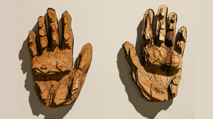
The work of visual artist and activist Cian Dayrit privileges countermapping in the form of textile maps as a gesture of resistance. His textile work references medieval tapestries that portray the oppression of people and places in feudal territories. They show that experiences of communities are tied to the geopolitical conditions and policies that exploit peasants, Indigenous minorities, workers, and the urban poor.
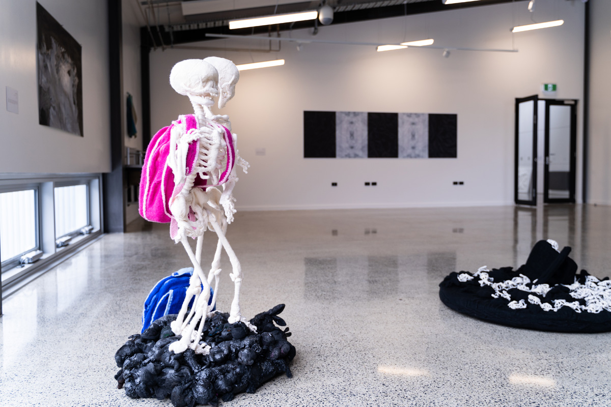
The use of textile is instrumental in the presentation of this work. Textile maps are durable, mobile, and tactile. Passed from hand to hand, they can cross borders others can’t and can be an equally effective form of communication hung in a university atrium, or unfurled for use by local communities. It is our desire to show the textile map in as many places as we can to encourage solidarity and public discussion among its viewers. As a final remark, the map is more than just an object. Stitched into the fabric are QR codes linked to online resources, images and reports, that explore these subjects in greater detail, we invite you all to follow this digital map and find out more.
For readers in the North East of England, The Terrains of Power will be displayed as ‘To block the flow of the river is to reject the wisdom of the earth’, as part of the Baltic show “Cosmovisions on Land and Entangled Futures” from the 17th Nov 2023 – 14th Apr 2024.
The content generated on this blog is for information purposes only. This Article gives the views and opinions of the authors and does not reflect the views and opinions of the Impact of Social Science blog (the blog), nor of the London School of Economics and Political Science. Please review our comments policy if you have any concerns on posting a comment below.
Image Credit: Maria Moore, LSE